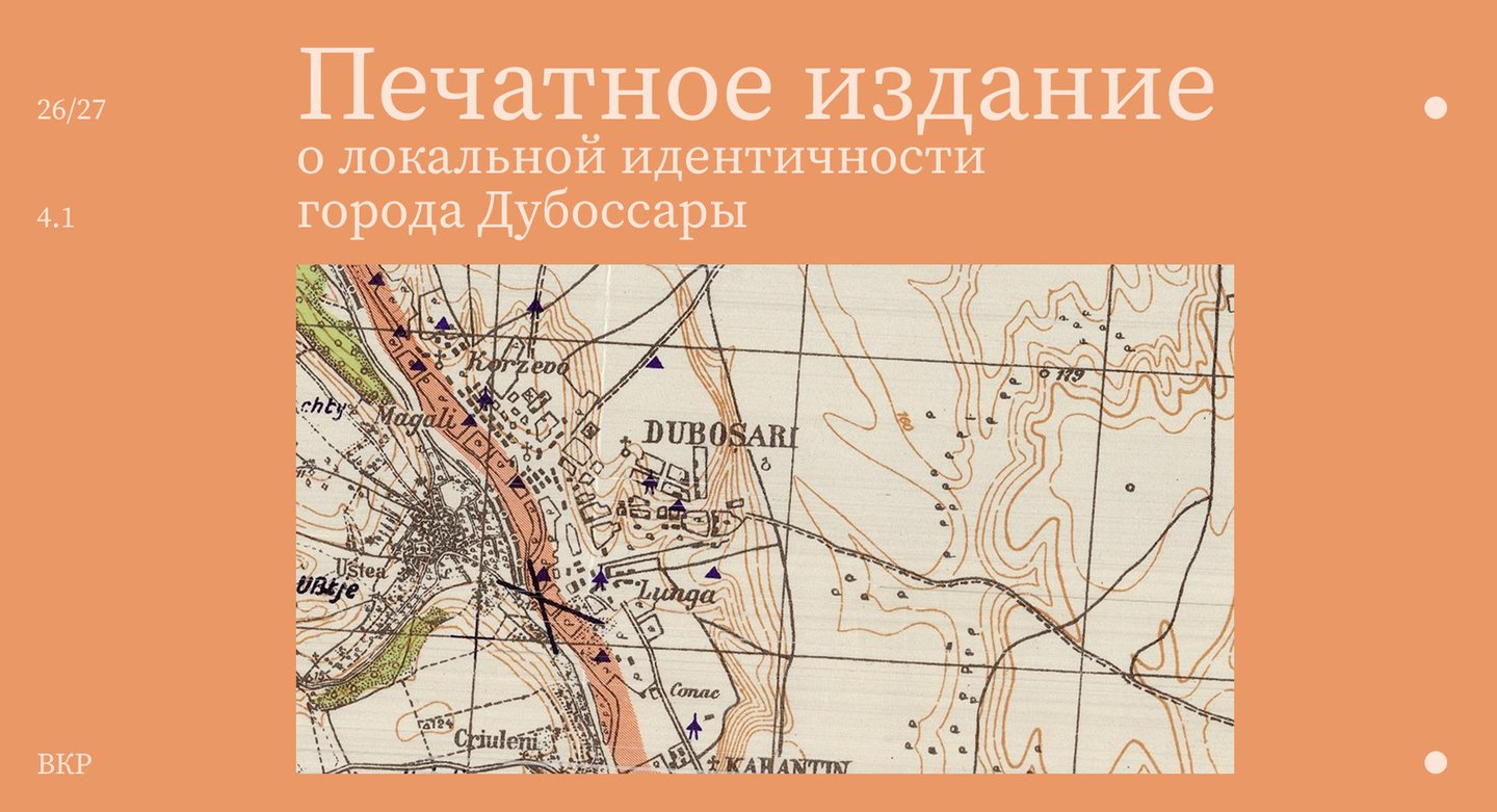
About the City
A city on the left bank of the Dniester River, whose history spans many centuries. Scythians and Sarmatians, Mongol-Tatars and Crimean Tatars, Turks and Zaporozhian Cossacks passed through it, leaving behind fortifications, burial mounds, and «Turkish cellars.» Throughout the centuries, Dubossary was a border point between the Moldavian Principality, the Grand Duchy of Lithuania, the Crimean Khanate, and the Ottoman Empire—an ancient crossing point over the Dniester, around which the trade routes and military interests of different worlds converged. In 1791, the city became part of the Russian Empire, where it served as a customs and trade post. In the 20th century, the city endured two world wars, the construction of a hydroelectric power station, and Soviet industrialization.
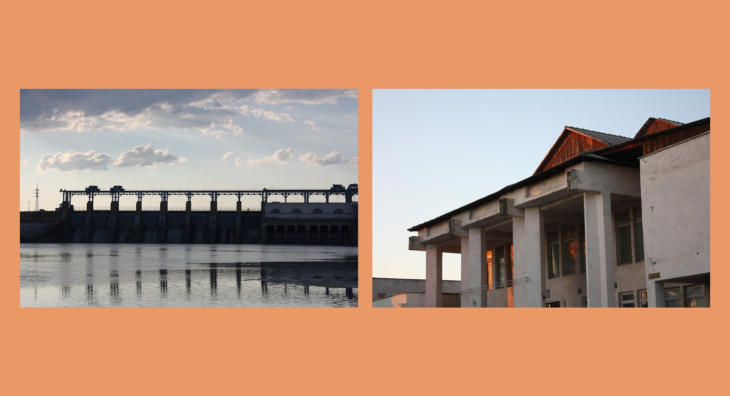
Dubossary City, photo from personal archive
It is the confluence of cultures, eras, and political systems that makes Dubossary a valuable object of study.
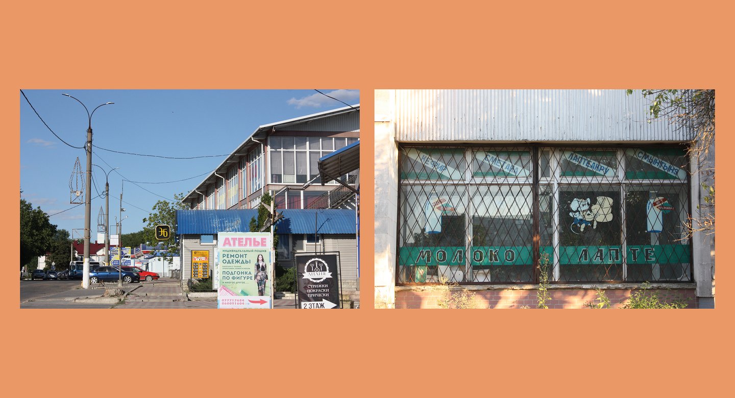
Dubossary city, photo from a personal archive
Dubossary, photo from personal archive
Print Publication Topic
This publication is a book that gathers and systematizes materials revealing the local identity through the city’s visual code: architecture, color, ornaments, signage fonts, symbolism, landscape, and more. Through the comparison of archival materials, historical documents, and articles, the book shows how the city understands and represents itself, and how the outside world perceives it.
Terms
Urban Local Identity is a socially constructed and spatially localized phenomenon, representing a subject’s enduring identification with a specific fragment of the urban
environment. It forms through the appropriation of meanings and values embedded within the material and symbolic structures of that place.The City’s Visual Code is a system of persistent visual signs and symbols that encode cultural meanings, values, and historical narratives, thereby shaping the recognizable image of the urban environment.
Relevance of the Publication
In the context of globalization and the homogenization of the urban environment, local identity is becoming increasingly fragile and requires documentation and critical reflection. A print publication that gathers the visual code of Dubossar allows us to preserve and make legible the enduring elements that define and distinguish the city from others—while they still exist within the living urban context.
Target Audience
Education
City
General PublicEthnographers, anthropologists, folklorists
Historians, local historians, archivists
Urbanists, architects, city planners
Semioticians, cultural studies scholars, art critics
Faculty and students
Dubossar residents
Visitors and tourists
Local entrepreneurs and administration
Readers interested in the history and culture of the regions
A cooperation agreement was signed with the State Administration of the Dubossary District and the city of Dubossary to facilitate the publication process.
Publication format and materials
The publication will be a comprehensive documentary and analytical volume, unifying disparate materials into a single structure dedicated to reconstructing and conceptualizing the local identity of Dubossar.
Material Type
Archival documents and fragments (with commentary)
Academic articles and essays
Maps, diagrams, and plans
Photographs, engravings, and reproductions
Folklore and toponymic records
Chronological tables and indexes
Fragments of published research
and other