
PROJECT THEME AND TITLE
Territory Name: Dune. Landscape improvement project for the Dzerzhinsky quarry.Address: Moscow region, Dzerzhinsky, Novye Kotelniki microdistrict, Ugreshskaya St., Large Dzerzhinsky Quarry and Tomilinsky Forest Park.Space Type: Mixed-use area.
• Settlement land: recreational zone;
• Forest fund land: permitted uses—timber harvesting (including small-diameter wood), harvesting and gathering of non-timber forest resources, harvesting of edible forest resources, and recreation.Design Boundaries:
• Descent and ascent to the quarry from the residential complex «Novye Kotelniki»;
• Large Dzerzhinsky Quarry area;
• Adjacent forest mass.Approximate Area of the Developed Territory: Land plots with cadastral numbers 50:64:0020102:266 and 50:22:0000000:96728, totaling 111,073.49 m² (11.1 hectares).
Situational Plan 1:2000
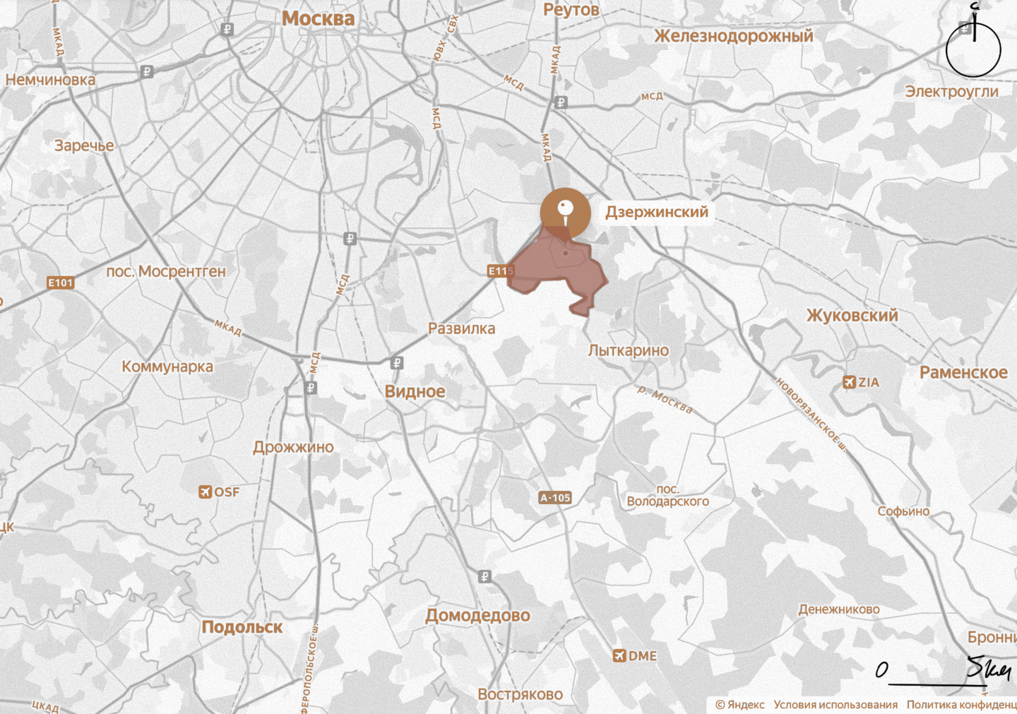
The Area near the Bolshoy Dzerzhinsky Quarry—formerly a sand quarry used to extract quartz sand, it has gradually transformed into a lake featuring pristine white beaches and dunes—is situated at the junction of the dense residential development of the Novye Kotelniki microdistrict and a natural preserve.
Currently, this location functions as an informal recreational zone: residents descend to the water via unpaved trails, swim on the sandy shores, and walk through the adjacent forest area.
However, the territory is not developed: there are no organized access points, walkways, or infrastructure, which is placing increasing strain on the landscape.
Master Plan 1:500
The boundaries and basic information for the site have been studied using open cadastral data. For the project to proceed, confirmation of the boundaries and acquisition of a current engineering-topographic survey are required.
Plan of the area being designed (as large as possible on the sheet)
This map was prepared for academic analysis based on open cartographic sources, satellite imagery, and on-site surveys. It does not constitute an engineering-topographic foundation and is not intended for construction.
Historical Overview
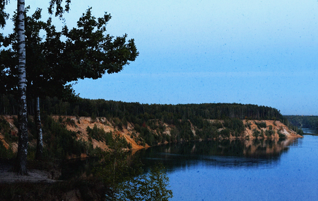
Origin. The Bolshoy Dzerzhinsky quarry was formerly a sand quarry where quartz sand was extracted during the Soviet era for the Lyuberetsky Mining and Concentrating Plant. It was one of the largest deposits of quartz sand in Russia—raw material for crystal, pharmaceutical glassware, and mirror and window glass. Intense excavation exposed groundwater, flooding the quarry and transforming it into lakes with sky-blue water.
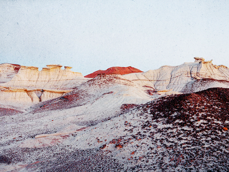
The Dune and the Jurassic Period. Local residents say the sand formed during the Jurassic period, when the waters of the prehistoric Tethys Ocean covered this area. The Podmoskovye territory was the seabed of this ocean, and therefore, fossilized remains of ancient life can be found in the sand.The Dzerzhinsky Quarry reveals Cretaceous-age sands, and dinosaur remains are discovered only in isolated areas. This confirms the scientific significance of the area.
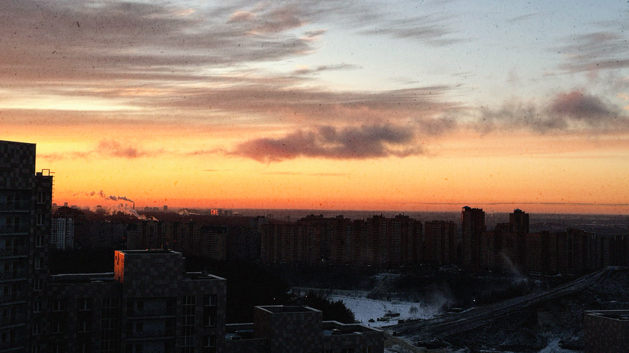
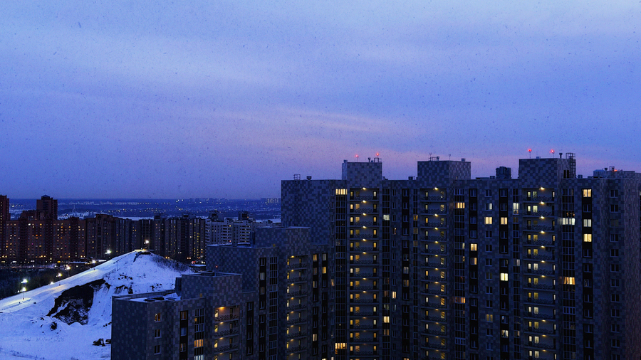
Accessibility and Popularity. The park is located a 20-minute ride from Kotelniki Metro Station. The location is popular due to the pristine white sand on the banks and the sandy bottom.Spontaneous Recreation. Currently, it is an undeveloped recreation area: residents descend to the water via informal paths, swim, wander through the forest expanse, and hold photoshoots. In the summer, it is crowded with sunbathers; in the fall, it hosts picnics and walks with pets.Development Context. The territory lies at the intersection of the dense residential complex «Novye Kotelniki» (a comfort-class quarter) and the natural preserve.
CONCEPTUAL TAKEAWAY:
The location possesses a unique visual code—a pristine, Cretaceous-era sand dune. The dune forms the core of the concept: its texture, topography, and color define the character of the territory and the design solution.Visual Study
EXAMPLE FORMATTING
Concept and Narrative
1. Working Title
«DUNES»2. Keywords
Sand, dune, terraces, bonfire, silence, viewpoint.3. Principle of Spatial Organization
A system of sand terraces and dunes along existing paths: the space is organized as a sequence of earthen sand platforms of varying heights, echoing the natural relief of the dunes. Each terrace is a distinct functional zone with its own narrative. The existing informal trails are preserved and converted into the main route connecting all zones. Two viewing platforms—one at the quarry and one in the forest on a rise—serve as the endpoints of the route.
4. Conceptual Narrative
This project transforms the undeveloped, wild shoreline of the quarry into a system of sandy terraces for waterfront recreation, utilizing the principles of dune topography for the residents of Novye Kotelnikov.The site preserves the pristine Jurassic-era sand, mature trees, and existing paths. Rather than leveling the terrain, the project works with it: built-up sandy platforms delineate zones and provide wind protection. Existing paths are surfaced and become the basis for designated routes.The upper terrace is designed for mothers and children: a safe sandbox, shade from the trees, and clear visibility. The middle terrace is for teens: their own space for movement and swings. The lower terrace is for adults: a lounge area offering tranquility and views of the water. Within the woods on the elevated area, there is a campfire zone for groups and quiet spots for solitude.The upper terrace also serves as an event hub for the residential community. Two observation decks—one at the quarry and one in the elevated forest area—establish the journey: forest—descent—terraces—water.The visual language draws inspiration from the sand dunes of the Emirates: smooth lines, warm hues, and maximum texture. The space functions year-round: a beach in summer, snow slides in winter, and walking and fire pit zones in autumn and spring.
«DUNE»
Transforms a wild coastal embankment into a system of sand terraces for waterside relaxation, utilizing the principle of dune relief—designed for mothers with children, teens, and adult residents of Novye Kotelnikov.
Moodboard
Concept and Detail References
Zoning Schematics
Photo Documentation