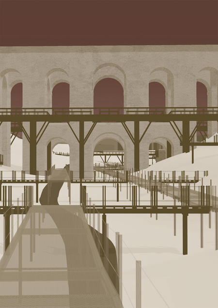
Project contents
I. Context Analysis — location of the project area and its history — landscape and visual analysis of the site — the Stone Bridge — conclusions about the project site
II. Project proposal — concept of planning organisation of the territory — master plan — proposal for the organisation of the landscape and slopes — architectural objects: wooden bridges, pavilions, restoration of the Stone Bridge, new bathhouses on the old site
I. Context Analysis

Project area location
Kaluga is a city 160 km south-west of Moscow, located on the banks of the Oka River and its tributaries — Yachenka, Kaluzhka, Kiyovka. Berezuysky ravine — an area in the centre of Kaluga, which is a densely overgrown gully with trees.
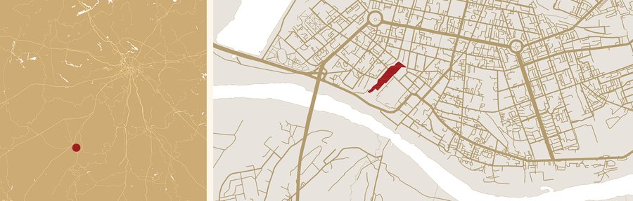
Location of Kaluga in relation to Moscow; location of the project area in the city.
This relief formed as a result of glacier melting, and later it became an important strategic object for the city: the ravine was the border of the Kaluga Kremlin and Zavershye, and later it divided the city into two parts.
Nowadays the ravine territory is not used in any way, and instead of the bathhouses and manor houses that once existed in the ravine there are chaotic self-buildings, and the Berezuya brook has been replaced by a storm water drainage system.
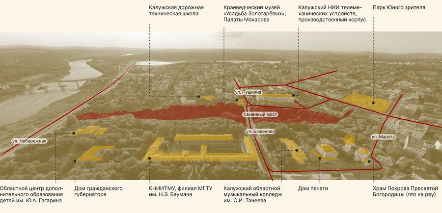
Landscape-visual analysis of the territory
The Stone Bridge
The project of the bridge was designed by architect Peter Romanovich Nikitin in the style of Russian classicism (1777–1780). The length of the structure is about 160 metres, height about 20 metres. The bridge is supported by 15 large stone arches, the central arches are made in 2 levels.
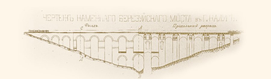
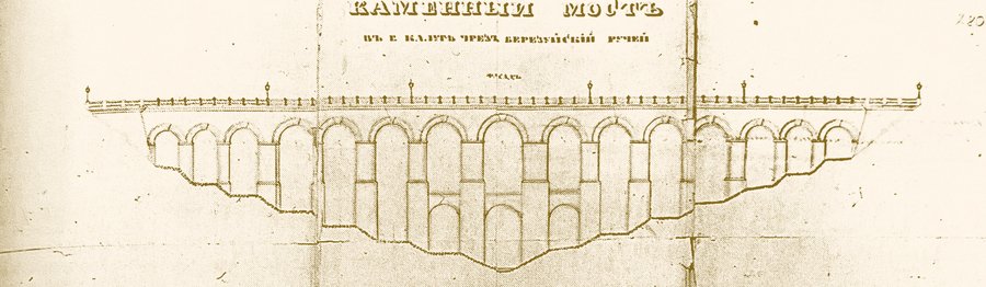
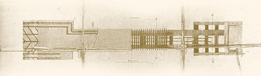
Archival documents from the book: Kaluga Berezui: experience of documentary description / compiler and editor V. N. Fridgelm. — 2nd edition, supplement. — Kaluga: Fridgelm, 2021.
What do tourists and locals say?
Conclusions about the project site
Advantages: — unique for the urban environment territory; — preserved monument of cultural heritage — the Stone Bridge; — location in the city centre; — presence of watercourses — Berezuy brook, Oka; history of the place.
Disadvantages: — Lack of connection with the town; — lack of a distinct function of the territory; chaotic self-buildings; — a large number of weedy, dry trees that hinder the view of the ravine; — polluted and partially piped Berezui brook.
Ways of solution: — clearing the gully of dry and weedy trees; — stream restoration; — strengthening of the banks; — creation of a park zone; — organising links with the city.
II. Project proposal
The concept of the project proposal is the organisation of a linear multi-level park in the ravine, which connects the city in two directions: across — the right and left slopes, and along — the upper and lower part of the ravine. The park is formed is 0; several semantic layers, each is 1; which has its own function.
The first is the three arterial paths. They run through the entire ravine and set three parallel vectors to which organised descents from adjacent streets lead. Where the descents directly approach the three main axes, wooden bridges are provided to cross from one axis to the other. The final layer consists of pavilions located on both slopes of the ravine. Some of them are viewing platforms, some of them are closed pavilions where you can sit down and relax.
master plan
1 — tennis courts 2 — promenade 3 — shopping square 4 — ruins of Davingof baths (conservation) 5 — new baths 6 — small market square 7 — big market square
S of the projected territory = 10,2 ha S of the territory of the object of cultural heritage of federal significance ‘Stone Bridge’ = 6,56 ha Total length: metal ramps = 709,62 m wooden decks = 807,1 m stairs = 714,5 m
Wooden bridges
In the 19th and 20th centuries, wooden bridges and steep ladders were built across the stream in the ravine in several places. On the basis of these structures, a typology of wooden structures was created, which are responsible for the descent into the ravine and provide transverse connections between its slopes.
type 1 — staircase, type 2 — staircase + observation deck; type 3 — stairs + two-level viewing platform; type 4 — cross bridge.
Scheme for organising the descent. The elevations are given relative to the minimum elevation of the Berezuya Brook.
Pavilions
Left: police box at the descent to the spring; centre: the chapel above the Zdorovets spring; right: the chapel at the Church of the Intercession.